
tradersofhongkong
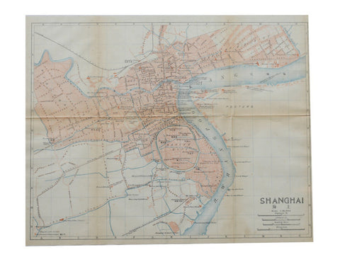
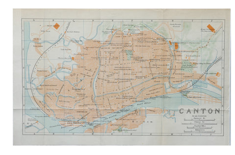
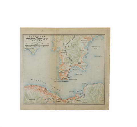
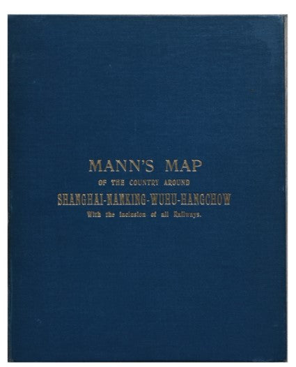
Mann's Shooting Map of Shanghai and her environs 1909
HK $30,000.00
Details
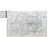
TITLE/CONTENT OF MAP: The Shooting districts laying around Hangchow- Nanking-Wuhu and Shanghai
DATE PRINTED: 1909 (not dated)
SIZE: Approx. 76 x 120 cm
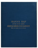
DETAIL: Uncommon compiled from the latest authorities by the late Fred Mann. Colour folding linen backed map in 32 segments folding into blue cloth covers, little light browning folds. Attractive ownership stamp of renowned scholar of Chinese art, Dr Max Loeher. Seldom seen.
The map was produced to aid the gentleman find suitable areas around Shanghai to shoot game. Hence, as well as the labelling of geographical and man-made features, the map is replete with phrases such as ‘first rate shooting country’, ‘good shooting along these greens’, and ‘rolling hills good shoot’.
The map stretches from west to east from modern day Tongling to Shanghai, and north to south from Nanjing to Hangzhou. The major districts and provinces are marked in English and Chinese. Also marked upon the plan are railway lines open and under construction or projected, cities, towns, villages, swamps, pagodas, hills, boundary provinces, creeks, and canals. Below the key is a note regarding the famous Hangzhou Bore, and to the upper right is a tide table for Shanghai.
Gother Frederick Mann (1817–81), a Major General in the Royal Engineers, served in Trinidad in 1847–50 and China 1857–61, retiring on full pay in 1874.
CONDITION: Very good quality original map with original folds as issued