tradersofhongkong
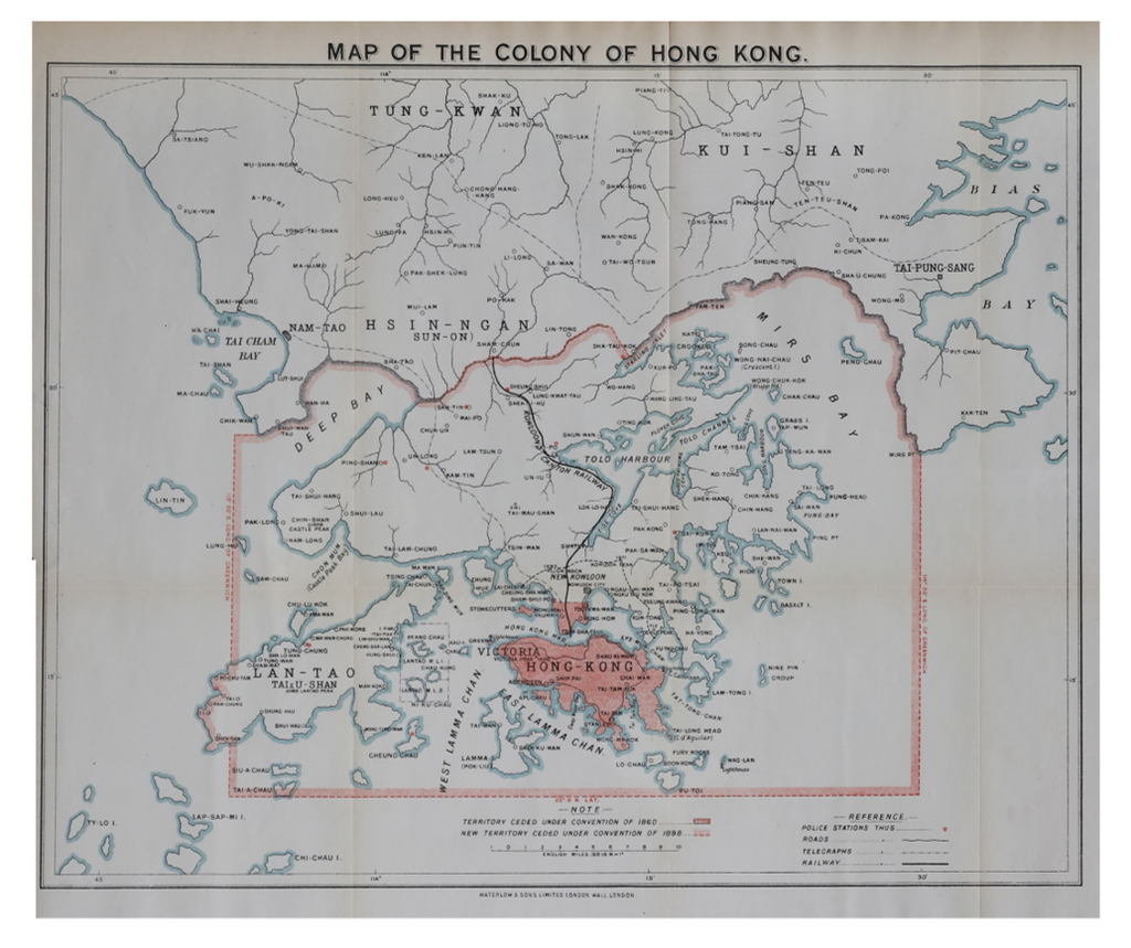
Original | Map of the Colony of Hong Kong c.1911
Sold Out
Details
Dimensions (cm) 29 x 36.5
CONDITION - Excellent condition with original fold lines
Original lithographed map with the boundaries of the territorial land of waters of Hong Kong and the New Territories marked in red.
The map was published by Waterlow & Sons in London c.1911 (n.d.)

